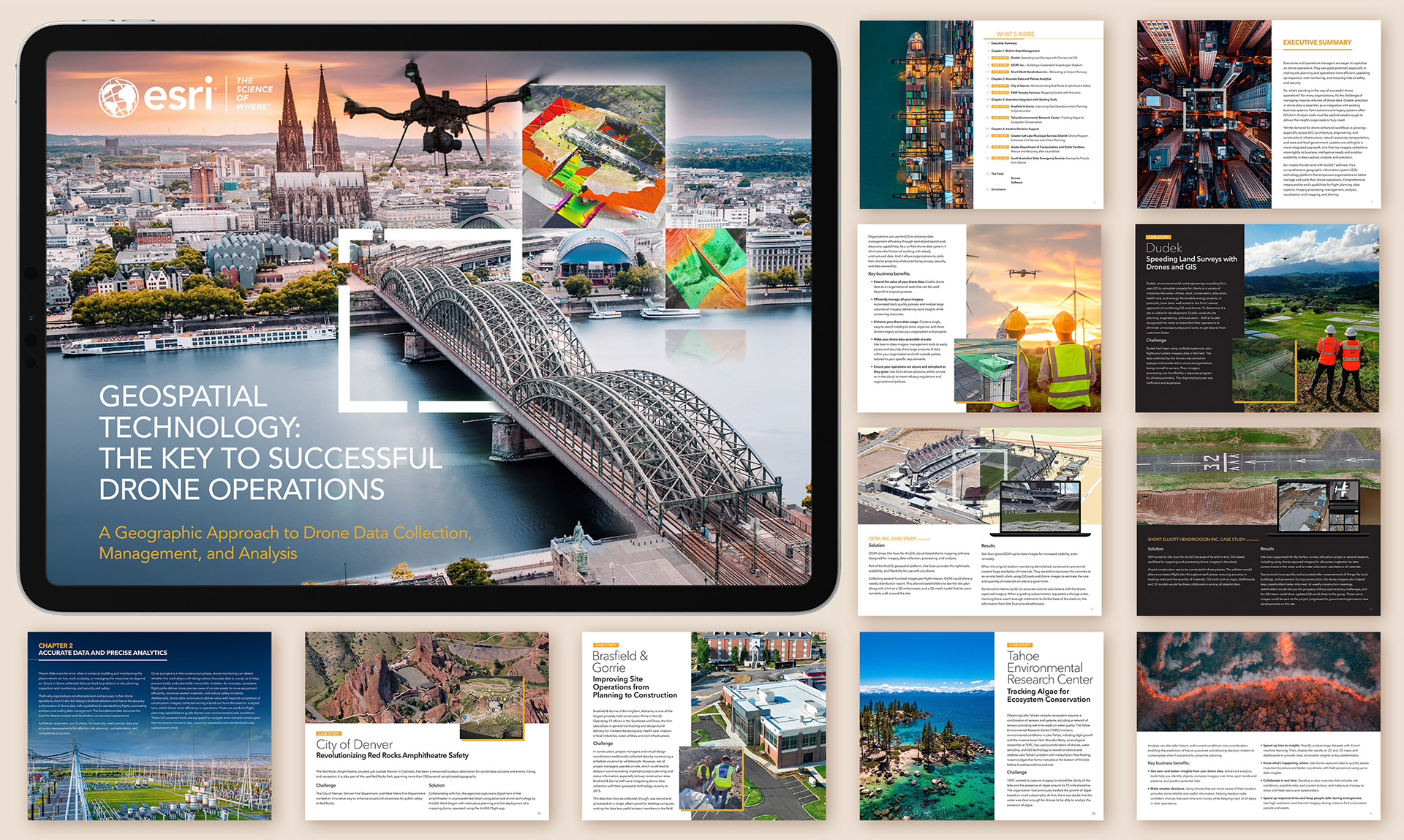
The publication of the 35-page ebook: “Esri Geospatial Technology: The Key to Successful Drone Operations.”was created to clearly communicate how geospatial intelligence supports efficient, accurate, and scalable drone workflows across industries.
The design approach focused on translating complex technical concepts into an accessible, visually engaging format. Clean layouts, strong typographic hierarchy, and data-driven visuals were used to guide readers through topics such as drone mapping, spatial analysis, real-time data integration, and operational decision-making. Brand consistency with Esri’s established visual identity was maintained throughout, while strategic use of imagery and diagrams helped reinforce key messages and real-world applications. The final deliverable balances technical depth with readability, positioning Esri’s geospatial technology as an essential foundation for modern drone operations.

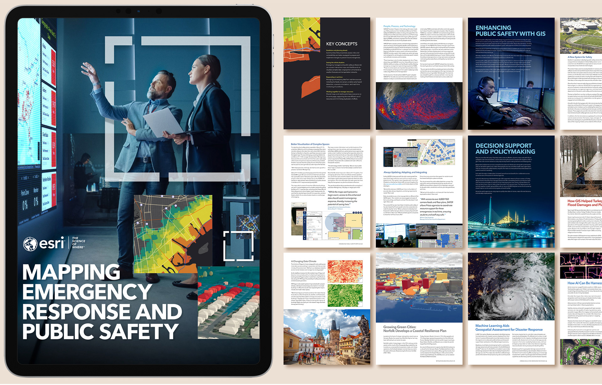
The goal for the 76-page ebook “Mapping Emergency Response and Public Safety”was to create a compelling, easy-to-navigate resource that explains how modern mapping technologies support faster coordination, better situational awareness, and improved outcomes in emergency management.
The design emphasizes clarity under complexity, using structured layouts, modular content blocks, and strong visual cues to guide readers through detailed workflows and real-world scenarios. Infographics, layered maps, and scenario-based visuals were incorporated to illustrate how geospatial systems enhance decision-making during crises such as natural disasters, public health events, and infrastructure emergencies. A restrained, professional visual style was used to reflect the seriousness of the subject matter, while maintaining readability across a large volume of content. The final product delivers a cohesive narrative that connects technology, operational strategy, and public safety impact across every section of the eBook.